15 Days
10 Days
Gangotri, Uttarakhand
Badrinath, Uttarakhand
Challenging
5950m/ 19,520 feet
May – June
Sept – October
110000 + 5%GST
Arrival at Gangotri
Acclimatization and Rest at Gangotri
Gangotri to Bhojbasa
Bhojbasa to Tapovan via Gaumukh
Tapovan to Nandanvan
Nandanvan to Vasuki Tal
Acclimatization and Rest
Vasuki Tal to Khara Patthar
Khara patthar to Sweta Glacier
Sweta Glacier to Kalindi Khal Base Camp
Kalindi Khal Base Camp to Rajparav via Kalindi Khal
Rajparav to Arwa Tal
Arwa Tal to Badrinath
Badrinath to Dehradun
Buffer Day
If you have reserved your transport with us then the journey begins from Dehradun where you will board your vehicle which will take you to the holy town of Gangotri. There will be halts in between to have breakfast and lunch. The road takes us through Mussoorie and Kempty falls, and then finally meanders along the Bhagirathi river. After reaching Gangotri you will check into a Hotel where you will spend the night.
We utilize this day to acclimatize better to the changing environment and altitude without taxing our bodies too much. After breakfast, utilize the time to go on small hikes to visit the holy and spiritual locations of Gangotri or do the last minute shopping if you are missing out something from the list of essentials. Get into the habit of drinking loads and water and having simple and healthy food which will not only start the acclimatization process in Gangotri itself and also improve your chances in tackling the pass. All details of the trek will be given to you by the trek leader in his briefing.
Our trek will start in the morning after having breakfast at Gangotri and make our way through the town and out into the forests of Gangotri National Park. The forest is laden with different kinds of flora and fauna. To make our way to Bhojbasa we will have to go through Chirbasa and as the name suggests ‘chir’ means pine so the forest surrounding Chirbasa is mostly pine. Many use Chirbasa as a campsite for other treks. Moving further the forests start changing from pine to Silver Birch or locally called as Bhojtra. The barks of these trees were used to write the vedas. We will reach Bhojbasa late in the afternoon where we will be greeted by the view of the Bhagirathi Peaks.
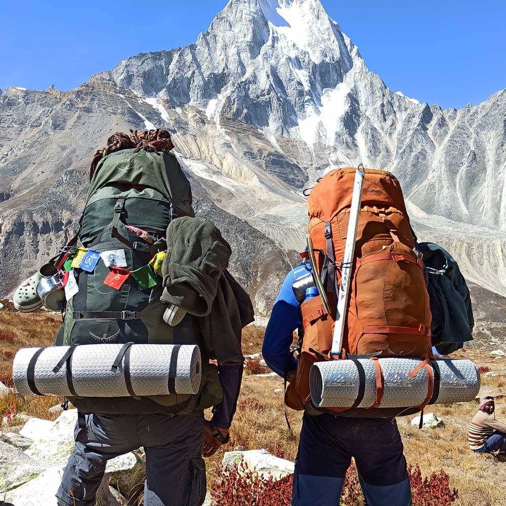
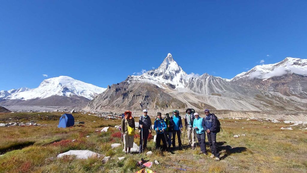
Enjoy the majestic view of the Bhagirathi peaks as you get out of your tents in the morning. After breakfast and taking your packed lunch we will depart for our trek towards Tapovan. By now we have gone above the tree line into the barren rocky landscape as we gain altitude. On our way we will navigate through Gaumukh which is the source of the Bhagirathi river. The name is ‘gau’ and ‘mukh’ literally translates to Cow’s Mouth which it might have looked like once upon a time when the name was kept. From here onwards the terrain gets rockier and steeper as we move towards Tapovan. The last of our journey opens up into a grassland which circles around Mt. Shivling. As we reach Tapovan we have the adorned view of the Bhagirathi Peaks and Mt. Shivling rising above the barren land where bharals or blue sheep are seen running around.
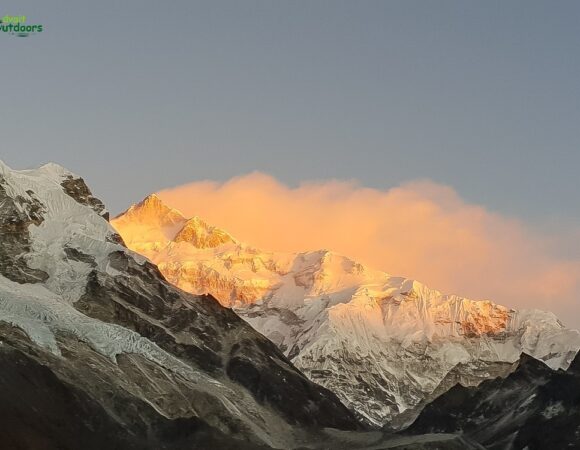
Wake up to the sunrise illuminating all the peaks around as we need to start our day as early as possible. Our trail takes us through Meru glacier with a full view of Mt. Meru, walking on the glacier is tough but since the glacier runs in between two ranges so it is laden with moraine making it easier to walk on the rocky patch. But one small mistake can become dangerous because of the deep cravesses. From Meru we turn towards Gaumukh glacier which will take us towards our campsite Nandanvan. After a steep vertical climb we will reach Nandanvan. Be careful of this climb as the glacier can be deceptive.
The trek today is short but we will be gaining 500 meters of altitude. The journey today is a steady upwards climb with ample breaks in between as we will gain a decent amount of altitude so our bodies will need to acclimatize. We move along the Chaturangi glacier and gradually climb up till Vasuki Tal. The beautiful surrounding of the lake makes an amazing campsite and it is also the base of Mt. Satopanth and Mt. Vasuki Parbat.
We reserve this day to prepare ourselves for higher altitudes. Move around the campsite without straining yourself too much. We will even go for an acclimatization walk and gain 100 to 200 meters in altitude and come back to the campsite for some well needed rest after trekking for so many days.
The distance is not that long today but we make our way to the Chaturangi glacier then descend steeply. From here we will start getting the first glimpses of Mt. Satopanth. The view of this mighty mountain is absolutely majestic. The last bit of our trail is a steady ascent after which we will reach Khara Pathar campsite.
The route is similar to how it was the day before but providing a much better view of Mt. Satopanth. We will climb down towards Chaturangi glacier and then traverse to the other side to reach Sweta glacier. As you make your way through the glaciers you will get to see many tarns(small glacial lakes) and cravesses gaped open. The campsite at Sweta glacier is near one such tarn surrounded by moraine so the ground has to be flattened to set up camp.
We will again trek along the Chaturangi glacier and along the Sweta glacier. The terrain is the same as the day before and we follow this similar terrain for 2 hours before taking a turn and changing our valley. From here Avalanche peak and Kalindi peak start looking down on us. We camp close to a similar tarn like the day before for a source of water and camp on the ridge of Avalanche peak. Kalindi Khal is visible right ahead of us, it is in the ridge connecting Avalanche and Kalindi peak.
Today is the day we had all been waiting for. We cross vast and beautiful glaciers today so we start as early as possible. With the sun just rising at the start of our trek we get to witness magnificent icefalls and crevasses. The way up is a little tricky and we all have to rope up to make the climb. We will also bypass a huge crevasse along the way. As we finally reach the top of the pass, the view is just spectacular with the awe inspiring mountain peaks like Kamet. Mana, Abi Gamin, Mukut, Avalanche peak and Kalindi peak right in front of us. We absorb this moment fully before starting descent to realize the efforts and hard work that we have put in to reach the top of the pass. The way down takes us through two glacial fields with minor and major crevasses. Navigating through this terrain is quite taxing so after reaching the campsite have some hot and delicious dinner to fuel your body and take ample rest in your warm and cozy sleeping bags.
The initial part of the trail feels good and easy with a gradual decline. But soon after the trail dips steep and we have to concentrate on boulder sections and cross freezing rivers. After some more walking on the glacial terrain we finally come down to greener and easier pastures.
The thought of going back to civilization is going to fuel our journey down. As we are descending down to Ghastoli which is at 3800 meters the terrain becomes more inviting once again. With greener grasslands and meadows, Ghastoli itself is a huge open meadow. We reach the roadhead where we will board a vehicle to Badrinath via Mana pass road. After so many days of trekking and sleeping on uneven surfaces we will finally experience sleeping on a flat bed with a mattress. Enjoy the well deserved sleep and get ready to head back to Dehradun.
We board our vehicle as early as possible as the road is long and is being reconstructed to make it wider so it will take time for us to cross that section. Have breakfast and lunch enroute and reach Dehradun safely.
We reserve this day for any kind of delay due to weather. If this day is used then the trek leader will collect Rs. 4500 in cash during the trek.
Ensure a smooth adventure with our comprehensive Packing List. From essential gear to personal items, we’ve got everything covered. Prepare efficiently for your outdoor journey, so you can focus on enjoying the experience with Advait Outdoors.
The best time for the Kalindi Khal Expedition is May to June and September to October, when the weather is most stable, and the snow conditions are ideal for a challenging but safe climb.
The Kalindi Khal Expedition is considered extremely difficult and is suited for experienced trekkers and mountaineers with prior high-altitude trekking and technical skills. The route includes challenging ascents, glacier crossing, and unpredictable weather conditions.
Essential gear includes mountaineering boots, crampons, ice axe, harness, helmet, climbing rope, warm clothing (layers), a sleeping bag for extreme cold, a backpack, and a personal first aid kit.
The Kalindi Khal Expedition typically takes 14-15 days, covering approximately 70-75 km, depending on the pace and acclimatization schedule.
Meals are usually provided by trekking operators, and accommodations include tented camps or basic shelters. Carrying high-energy snacks, such as protein bars, dry fruits, and chocolates, is recommended for extra energy during the climb.


I did Sandhakphu Phalut Trek with Rohit,
Had a wonderful experience with him.
He takes care of all the aspects and had every emergency item carried in his bag pack for all of us (group of 8) including candies too. We heard some of his adventurous stories about his previous treks which made us wanna trek again. Very rarely do we come across youngsters with utmost maturity, principles intact and true to their job. Rohit was all of that. If we do travel soon again, we would definitely contact him to be our leader again.
Thank u Rohit for your perfect leadership and guidance
