20 Days
15 Days
Dehradun, Uttarakhand
Dehradun, Uttarakhand
Difficult
6,512 meters / 21,360 feet
May – June
Sept – October
150000 + 5%GST
Dehradun
Acclimatization Day
Gangotri to Bhojbasa
Bhojbasa to Nandanvan
Base camp to Summit and Back to Base Camps
Nandanvan to Bhojbasa
Bhojbasa to Gangotri
Drive back to Dehradun
Buffer Day
Ending Point- Gangotri (3110m/10200 ft) Total Distance- 240 kms, 10-11 hours. Max. Elevation of the day- Gangotri (3110m/10200 ft) Route Detail- Report at Dehradun early morning, board into your respective vehicles. Drive through Mussoorie, Uttarkashi, Harshil, and reach Gangotri. After Uttarkashi which is also the biggest town of this whole route, the valley will become more green and scenic as the human settlement is less. Enjoy apple orchards and the beautiful valley of Harshil. You’ll be traveling all along the Bhagirathi river till the destination. Reach Gangotri by late evening. Gangotri is small. Busy town filled with pilgrimages, sadhus, yogis and has so may old ashrams on the left bank of Bhagirathi river. It has the famous Gangotri temple which is one of the 4 dhams of Uttarakhand. The river Bhagirathi got its name after the king Bhagirath. Today was a long journey so settle up into your respective hotels, freshen up and have dinner. Overnight stay at the hotels. Highlight of the day- The journey and the destination. Accommodation- Hotel Remark- Keep warm jackets handy after Uttarkashi, one can shopping in Uttarkashi if any item left behind, Jio network is working in Gangotri.
We’ll spend our day in Orientation, documentation, expectation setting, and the most important Acclimatization. As we directly came at 3110m/10200 ft. Proper acclimatization is a must. We’ll go towards the trail of Rudugaira valley with Pandav Gufa, Surya Kung, Gauri Kund, Picture museum on the way. In the evening we’ll have the team introduction, equipment test, also conduct some informative sessions on Backpacking, and AMS, which will be very useful for you for the upcoming expedition. You can pack your bag accordingly and left the remaining items at the Hotel itself which you can collect on the last day of your return. Do attend the famous Ganga Aarti in the evening at the temple.
Max. Elevation of the day – Bhojbasa (3,780m/12,400 ft) Route Detail – The trail today will be an easy one as you will be walking on the pilgrimage route. The route is well maintained and wide. you’ll be walking on the right bank of bhagirathi river with the glimpse of beautiful mountains like Manda and Sudarshan. There will be few wooden bridges on the way. After 8 km you’ll reach Chirbasa, which is a forest check post and also camping place. The destination is another 6 km from this place. In between here comes a landslide area of about 1 km be careful on that. Reach bhojbasa in late afternoon settle up the camp and enjoy the evening. Bhojbasa is a wide open place with few ashrams of Bengali Baba and Lal Baba, a GMVN rest house, weather department and police huts. You’ll get a beautiful view of Bhagirathi massif from the campsite. Overnight stay in the camps. Accommodation – Tents Remark – Be careful while crossing the landslide area ahead of Chirbasa
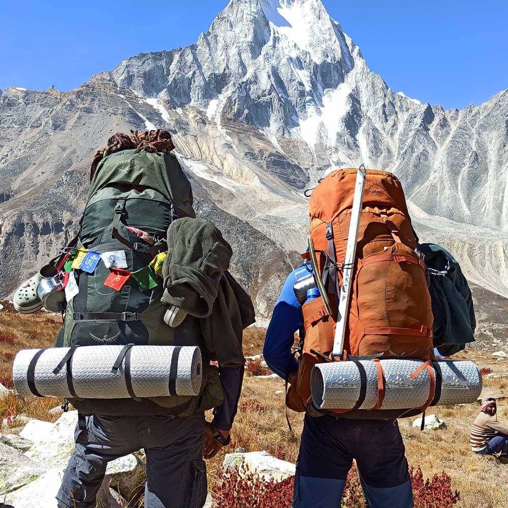
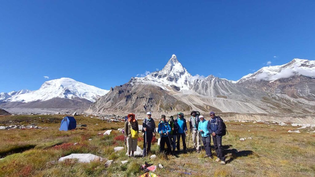
Max. Elevation of the day – Nandanvan (4,300m/14,100 ft) Route Detail – Start the day early after breakfast with crossing of the Bhagirathi river through the trolley bridge. Taking the whole team to the other side through this bridge will took some time. Now you’ll be walking on the left bank of Bhagirath river. Continuous walking for about 2 hours will make you reach the Gaumukh cave, the origin of Bhagirathi river. Spend some time there and be ready for the adventurous terrain ahead on the Gangotri glacier. Be very careful on this terrain as the boulders and moraines are very loose. This is a new route as the older one is been washed by the landslide. After sometime you’ll meet the older trail continuous walk will take you the junction of chaturangi and gangotri glacier. After this point there is again a change in the route. After one hour of walk on the loose boulders you’ll find a stable trail. Steep walk for about one hour will make you reach the destination. The trek today will be challenging but all the tiredness will be taken off by the view of one of the most beautiful mountains of the Himalayas. The campsite offer an amazing view of the mountain peaks like Shivling, Meru, Kedar Dome, Kharchakund, Vasuki Parvat, Chandra. Rest and relax at one of the best view offering campsites of Indian Himalayas. Overnight stay at the camps. Highlight of the day- The view from the campsite Accommodation- Tents Remark- Be very careful during the glacier travel.
The next 11 days will be utilised for the establishment of higher camps, load ferries, acclimatization, route opening and the summit push. Complete day wise details of the expedition itinerary after the base camp is difficult to provide. As the progress of the expedition after the base camp depends on so many factors which includes the fitness of the team, weather, the current situation of the route and the competence of the support team. Generally there will 4 camps ahead of the base camps which includes advance base camp(ABC), Camp 1, Camp 2, Summit camp. The location of these camps is also not fixed. It may also vary from expedition to expedition. On total 11 days are more than enough for the progress of the expedition from base camp to summit and back to the base camp.
Max. Elevation of the day – Nandanvan (4,300m/14,100 ft) Route Detail – You’ll be retracing back the same route via Gaumukh cave. Accommodation – Tents Remark – Be very careful during the glacier travel.
Max. Elevation of the day – Bhojbasa (3,780m/12,400 ft) Route Detail – Follow the same route till Gangotri via Chirbasa in between. Overnight stay in the hotel Accommodation- – Hotel
Drive back to Dehradun
The day will be used as a reserve day to compensate any delay happened in the expedition due to any reason so that you don’t have to compromise the summit.
Ensure a smooth adventure with our comprehensive Packing List. From essential gear to personal items, we’ve got everything covered. Prepare efficiently for your outdoor journey, so you can focus on enjoying the experience with Advait Outdoors.
The best time for the Bhagirathi II Expedition is between May and June and September to October, when the weather conditions are stable, and the snow and ice conditions are favorable for climbing.
The Bhagirathi II Expedition is considered extremely difficult and is suited for experienced mountaineers. The climb involves technical rock and ice climbing, glacier crossings, and high-altitude challenges, requiring advanced skills and physical fitness.
Essential gear includes mountaineering boots, crampons, ice axe, climbing rope, harness, helmet, high-altitude sleeping bag, warm clothing (layers), trekking poles, and a personal first aid kit.
The Bhagirathi II Expedition typically takes 20-25 days, covering approximately 75-80 km, depending on the acclimatization schedule, weather conditions, and the pace of the expedition.
Meals are provided by expedition organizers, and accommodations include base camps and high-altitude campsites. Carrying high-energy snacks like protein bars, dry fruits, and chocolates is recommended to maintain energy levels during the strenuous climb.


I did Sandhakphu Phalut Trek with Rohit,
Had a wonderful experience with him.
He takes care of all the aspects and had every emergency item carried in his bag pack for all of us (group of 8) including candies too. We heard some of his adventurous stories about his previous treks which made us wanna trek again. Very rarely do we come across youngsters with utmost maturity, principles intact and true to their job. Rohit was all of that. If we do travel soon again, we would definitely contact him to be our leader again.
Thank u Rohit for your perfect leadership and guidance
